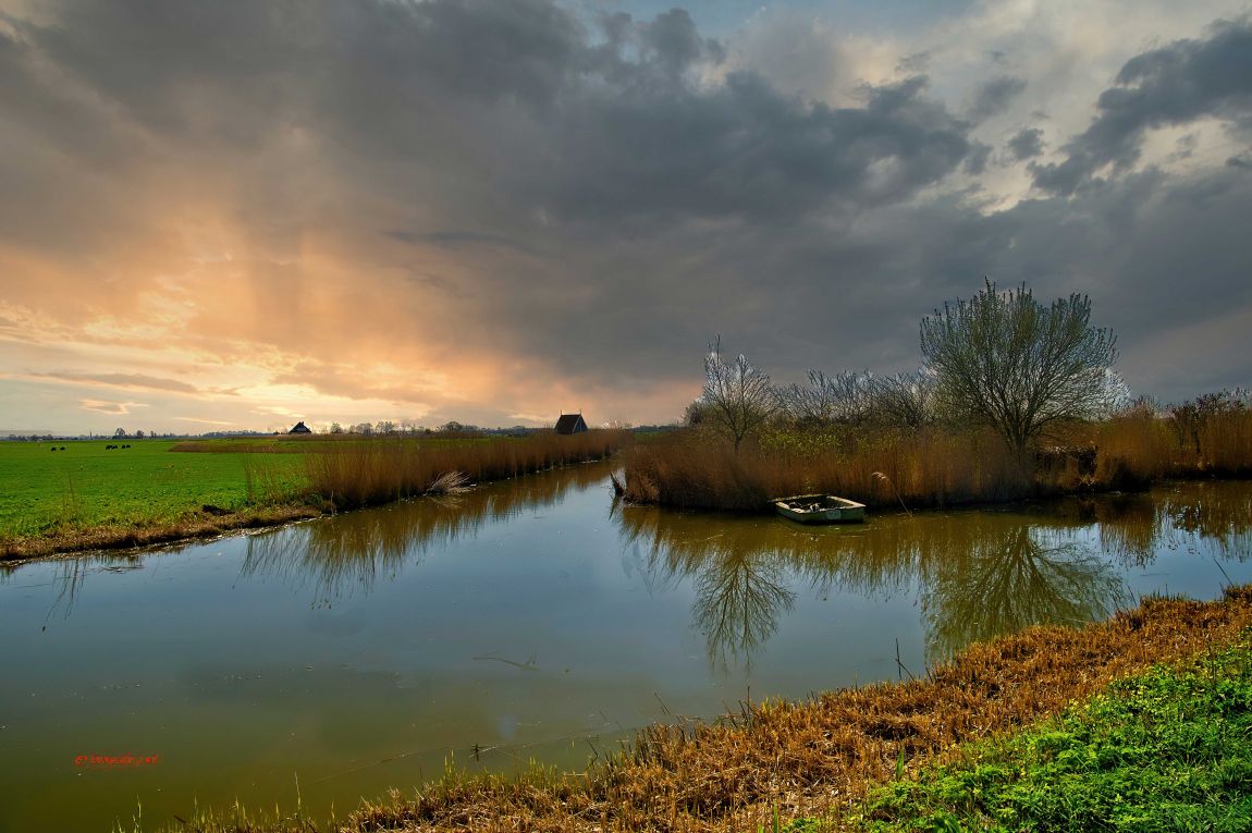
natuurgebied nabij kolhorn
natuurgebied nabij kolhorn
Foto informatie
| Categorie(ën): |
Natuur & Landschap
|
| Datum genomen: |
vrijdag, maart 29, 2019 - 07:33 |
| Datum geupload: |
donderdag, december 7, 2023 - 13:22 |
| Camera: |
PENTAX K-3 II |
| Sluitertijd: |
1/125 |
| ISO: |
100 |
| Diafragma: |
f/6.3 |
| FileDateTime: |
0 |
| FileSize: |
1982798 |
| FileType: |
2 |
| MimeType: |
image/jpeg |
| SectionsFound: |
ANY_TAG, IFD0, THUMBNAIL, EXIF, GPS |
| ImageWidth: |
6016 |
| ImageLength: |
4000 |
| PhotometricInterpretation: |
2 |
| Make: |
RICOH IMAGING COMPANY, LTD. |
| Model: |
PENTAX K-3 II |
| Orientation: |
1 |
| SamplesPerPixel: |
3 |
| XResolution: |
2400000/10000 |
| YResolution: |
2400000/10000 |
| ResolutionUnit: |
2 |
| Software: |
Adobe Photoshop 21.1 (Windows) |
| DateTime: |
2023:12:07 13:18:59 |
| Artist: |
P.WIT |
| YCbCrPositioning: |
1 |
| Exif_IFD_Pointer: |
352 |
| GPS_IFD_Pointer: |
1048 |
| ExposureTime: |
1/125 |
| FNumber: |
63/10 |
| ExposureProgram: |
0 |
| ISOSpeedRatings: |
100 |
| ExifVersion: |
0221 |
| DateTimeOriginal: |
2019:03:29 07:33:15 |
| DateTimeDigitized: |
2019:03:29 07:33:15 |
| ShutterSpeedValue: |
49471/7102 |
| ApertureValue: |
10717/2018 |
| ExposureBiasValue: |
0/1 |
| MeteringMode: |
5 |
| Flash: |
16 |
| FocalLength: |
16/1 |
| FlashPixVersion: |
0100 |
| ColorSpace: |
1 |
| ExifImageWidth: |
6016 |
| ExifImageLength: |
4000 |
| SensingMethod: |
2 |
| CustomRendered: |
0 |
| ExposureMode: |
0 |
| WhiteBalance: |
0 |
| FocalLengthIn35mmFilm: |
24 |
| SceneCaptureType: |
0 |
| Contrast: |
2 |
| Saturation: |
0 |
| Sharpness: |
2 |
| SubjectDistanceRange: |
2 |
| GPSLatitudeRef: |
N |
| GPSLongitudeRef: |
E |
| GPSAltitude: |
41/5 |
| GPSSatellites: |
10 |
| GPSStatus: |
A |
| GPSMeasureMode: |
3 |
| GPSSpeedRef: |
K |
| GPSSpeed: |
1/50 |
| GPSTrackRef: |
T |
| GPSTrack: |
511/2 |
| GPSImgDirectionRef: |
T |
| GPSImgDirection: |
15099/100 |
| GPSMapDatum: |
WGS-84 |
| GPSProcessingMode: |
ASCIIGPS |
| GPSDateStamp: |
2019:03:29 |
Voor deze functionaliteit moet je ingelogd zijn


foto piet wit
foto piet wit
natuurgebieb nabij kolhorn
natuurgebieb nabij kolhorn