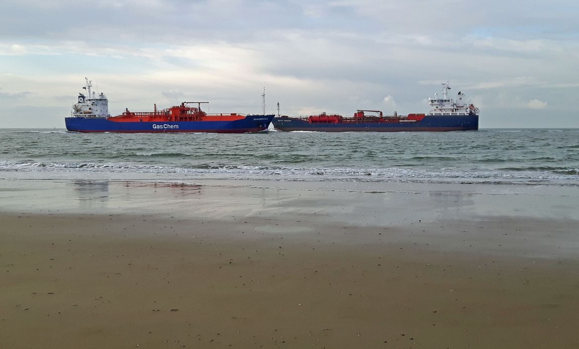
Touché
voor de kust ter hoogte van Vlissingen
Foto informatie
| Categorie(ën): | Natuur & Landschap , Vervoer |
| Datum geupload: | dinsdag, november 8, 2016 - 16:19 |
| Camera: | SM-G903F |
| Sluitertijd: | 1/710 |
| ISO: | 40 |
| Diafragma: | f/1.9 |
| FileDateTime: | 0 |
| FileSize: | 683939 |
| FileType: | 2 |
| MimeType: | image/jpeg |
| SectionsFound: | ANY_TAG, IFD0, THUMBNAIL, EXIF, GPS |
| ImageWidth: | 3264 |
| ImageLength: | 2448 |
| PhotometricInterpretation: | 2 |
| Make: | samsung |
| Model: | SM-G903F |
| Orientation: | 1 |
| SamplesPerPixel: | 3 |
| XResolution: | 720000/10000 |
| YResolution: | 720000/10000 |
| ResolutionUnit: | 2 |
| Software: | Adobe Photoshop Elements 13.0 (Windows) |
| DateTime: | 2016:11:08 12:34:44 |
| ExposureTime: | 1/710 |
| FNumber: | 19/10 |
| ExposureProgram: | 2 |
| ISOSpeedRatings: | 40 |
| DateTimeDigitized: | 2016:11:08 09:59:59 |
| MeteringMode: | 2 |
| LightSource: | 0 |
| Flash: | 0 |
| FocalLength: | 370/100 |
| WhiteBalance: | 0 |
| Exif_IFD_Pointer: | 460 |
| GPS_IFD_Pointer: | 712 |
| JPEGInterchangeFormat: | 535 |
| JPEGInterchangeFormatLength: | 11251 |
| ExifVersion: | 0221 |
| ShutterSpeedValue: | 9471675/1000000 |
| ApertureValue: | 1851999/1000000 |
| ColorSpace: | 1 |
| ExifImageWidth: | 3224 |
| ExifImageLength: | 1945 |
| GPSLatitudeRef: | N |
| GPSLongitudeRef: | E |
| GPSAltitude: | 45/1 |
| GPSDateStamp: | 2016:11:08 |


