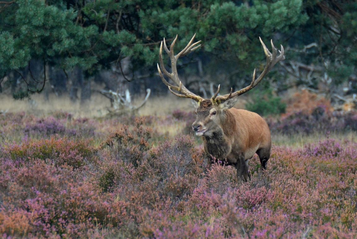
Bronstig Edelhert
Bronstig Edelhert in Nationaal Park De Hoge Veluwe.

Foto informatie
| Categorie(ën): | Natuur & Landschap |
| Datum genomen: | zaterdag, september 21, 2013 - 14:25 |
| Datum geupload: | dinsdag, september 24, 2013 - 17:47 |
| Camera: | NIKON D5100 |
| Sluitertijd: | 10/4000 |
| ISO: | 500 |
| Diafragma: | f/7.1 |
| FileDateTime: | 0 |
| FileSize: | 1653619 |
| FileType: | 2 |
| MimeType: | image/jpeg |
| SectionsFound: | ANY_TAG, IFD0, THUMBNAIL, EXIF, GPS, INTEROP |
| Make: | NIKON CORPORATION |
| Model: | NIKON D5100 |
| Orientation: | 1 |
| XResolution: | 3000000/10000 |
| YResolution: | 3000000/10000 |
| ResolutionUnit: | 2 |
| Software: | Adobe Photoshop CS6 (13.020111012.m.258 2011/10/12:21:00:00) (Windows) |
| DateTime: | 2013:09:22 12:25:33 |
| Artist: | Picasa |
| YCbCrPositioning: | 2 |
| Exif_IFD_Pointer: | 304 |
| GPS_IFD_Pointer: | 1040 |
| ExposureTime: | 10/4000 |
| FNumber: | 71/10 |
| ExposureProgram: | 1 |
| ISOSpeedRatings: | 500 |
| ExifVersion: | 0230 |
| DateTimeOriginal: | 2013:09:21 14:25:47 |
| DateTimeDigitized: | 2013:09:21 14:25:47 |
| CompressedBitsPerPixel: | 4/1 |
| ExposureBiasValue: | 0/6 |
| MaxApertureValue: | 50/10 |
| MeteringMode: | 5 |
| LightSource: | 0 |
| Flash: | 0 |
| FocalLength: | 3000/10 |
| UserComment: | ASCII |
| SubSecTime: | 70 |
| SubSecTimeOriginal: | 70 |
| SubSecTimeDigitized: | 70 |
| FlashPixVersion: | 0100 |
| ColorSpace: | 1 |
| ExifImageWidth: | 2828 |
| ExifImageLength: | 1889 |
| InteroperabilityOffset: | 934 |
| SensingMethod: | 2 |
| CustomRendered: | 0 |
| ExposureMode: | 1 |
| WhiteBalance: | 0 |
| DigitalZoomRatio: | 1/1 |
| FocalLengthIn35mmFilm: | 450 |
| SceneCaptureType: | 0 |
| GainControl: | 1 |
| Contrast: | 0 |
| Saturation: | 0 |
| Sharpness: | 0 |
| SubjectDistanceRange: | 0 |
| ImageUniqueID: | ae259f9eee0b8d949019751a1920f065 |
| GPSLatitudeRef: | N |
| GPSLongitudeRef: | E |
| GPSAltitude: | 33/1 |
| GPSSatellites: | 12 |
| GPSMapDatum: | WGS 84 |
| GPSDateStamp: | 2013:09:21 |
| InterOperabilityIndex: | R98 |
| InterOperabilityVersion: | 0100 |
| RelatedImageWidth: | 4928 |
| RelatedImageHeight: | 3264 |